

Airports, Airstrips & Helipads Network
Expanding state aeronautical footprint through modern passenger terminals, runway augmentations, navigation aids, and strategic helipads across all 24 districts of Jharkhand.
Comprehensive Infrastructure Directory
Review operational status, runway lengths, passenger facilities, and navigational aids for Jharkhand's primary airports and regional airstrips.
 Operational
IXR / VERC
Birsa Munda Airport, Ranchi
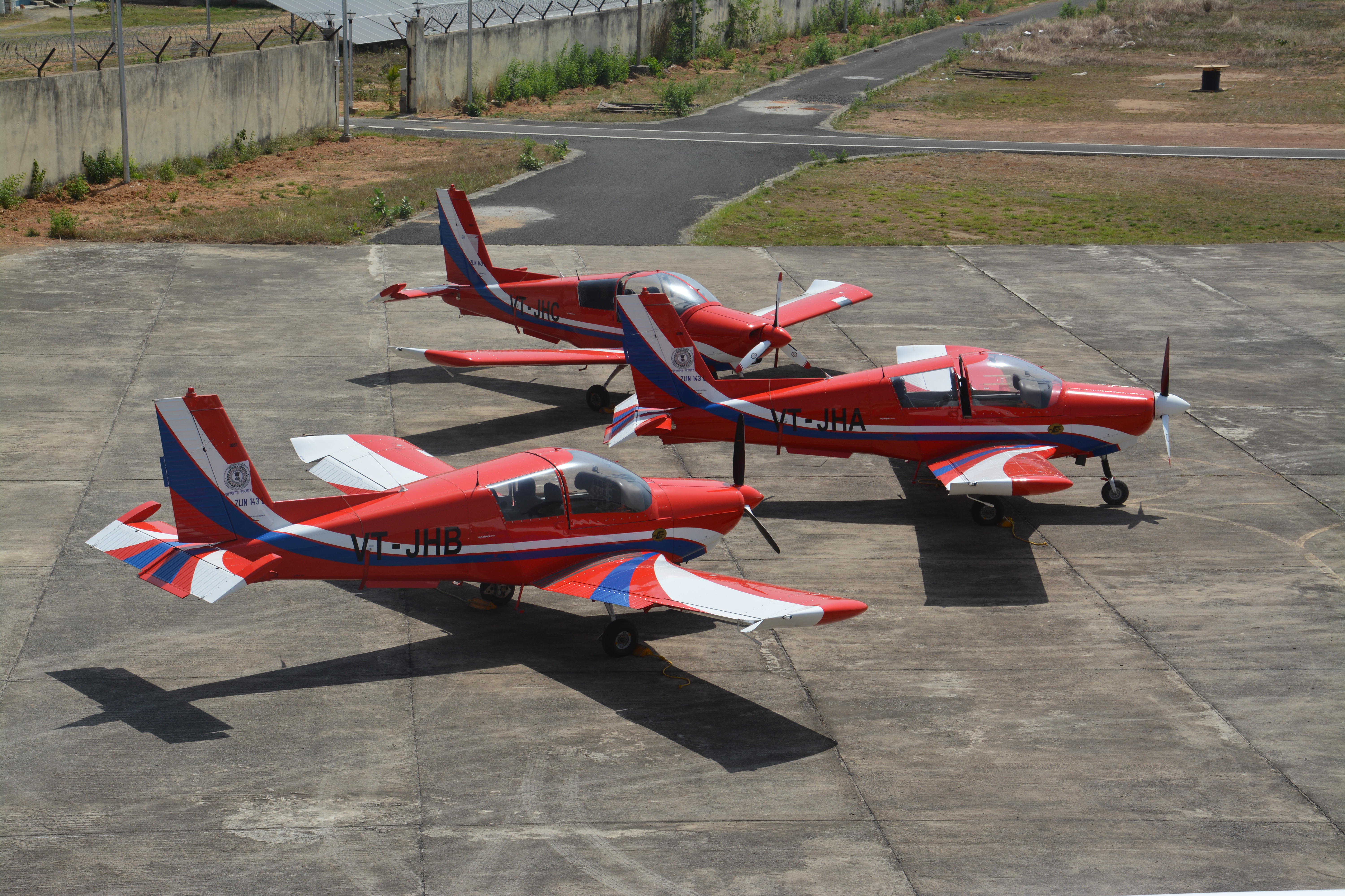
The primary international standard gateway to Jharkhand. Features an integrated passenger terminal, cargo complex, VIP lounges, and the home base for Jharkhand Flying Institute (JFI).
 Operational
DGH / VEDO
Deoghar International Airport
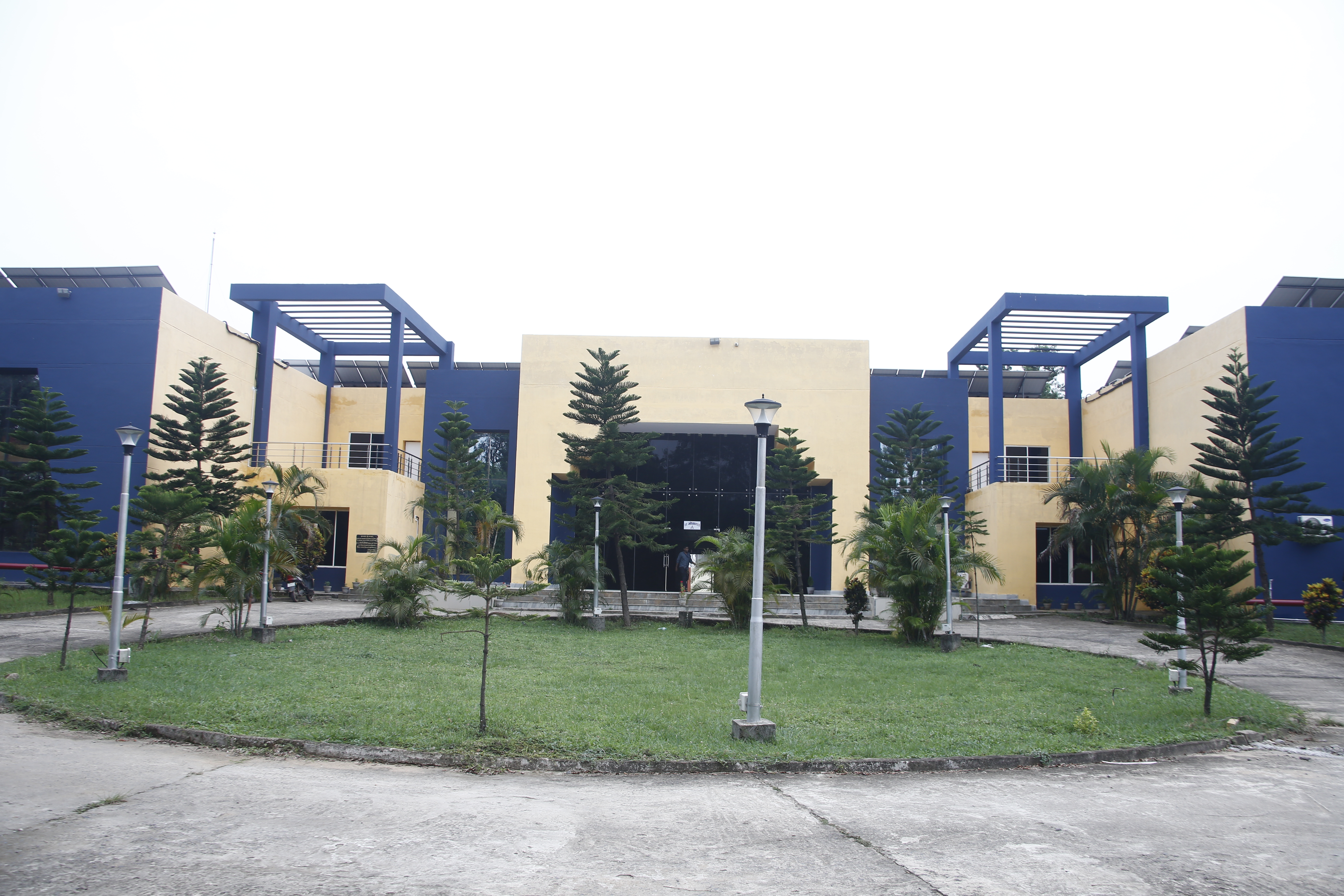
Serving pilgrims visiting the sacred Baba Baidyanath Jyotirlinga and the entire Santhal Pargana division. Inaugurated by Hon'ble Prime Minister, featuring temple architecture inspired aesthetics.
 Operational
IXW / VEJS
Sonari Airport, Jamshedpur
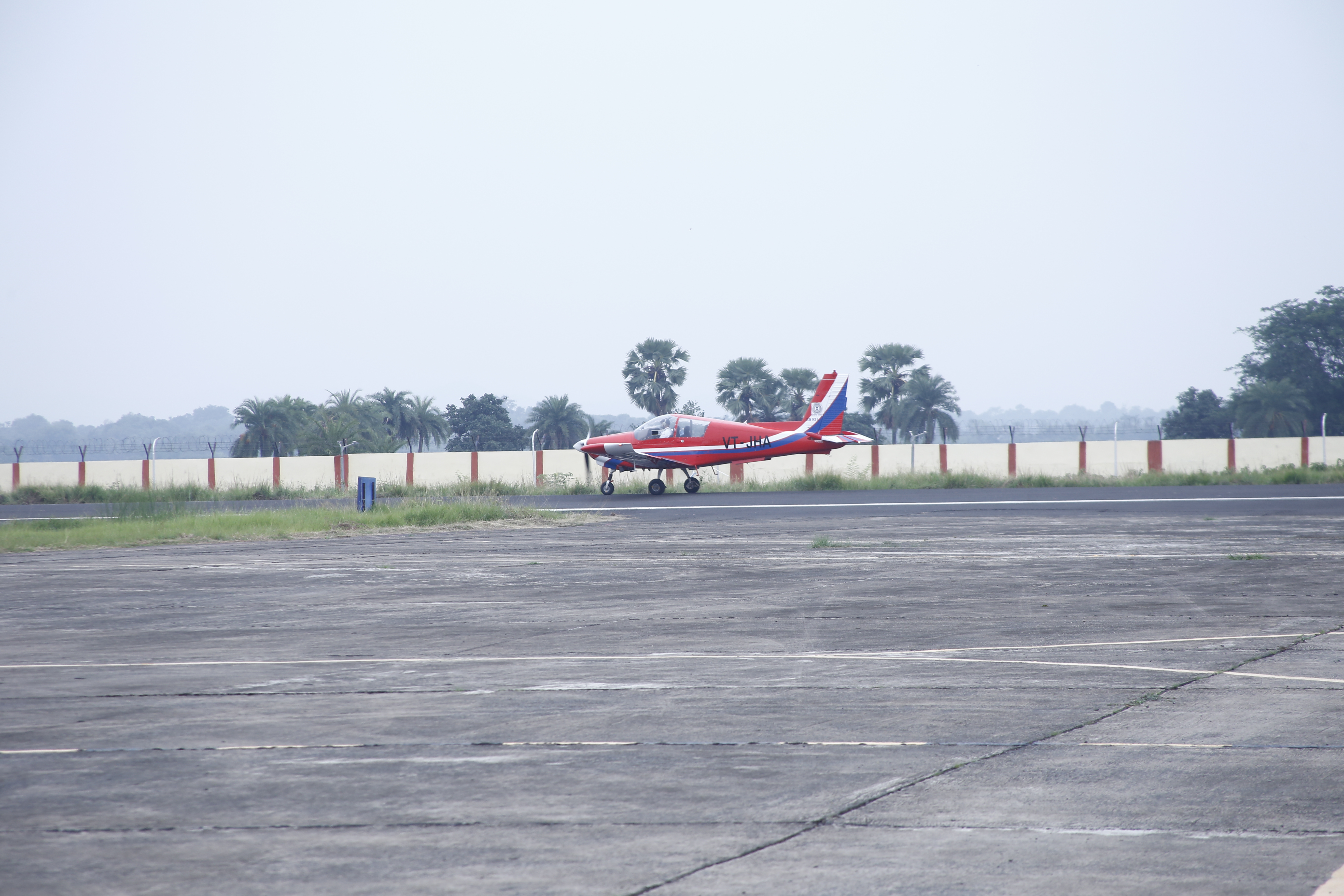
Facilitating industrial executives, corporate aviation, and commercial commuter flights connecting the Steel City to Kolkata and Bhubaneswar under RCS-UDAN.
 UDAN RCS Ready
BKSC / VEBK
Bokaro Steel City Airport
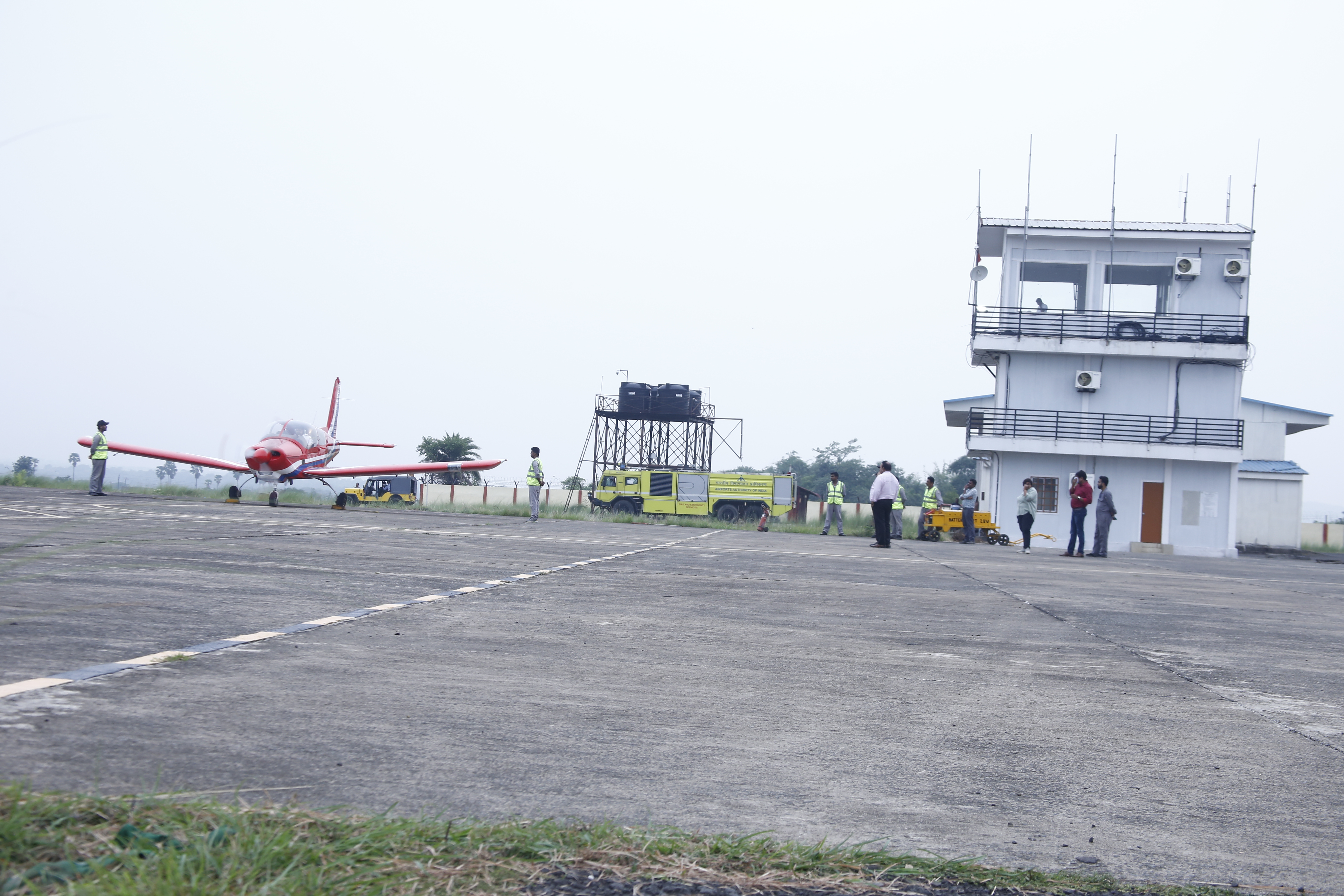
Upgraded under UDAN to serve the massive industrial belt of Bokaro, Dhanbad, and Giridih. Newly renovated passenger terminal and baggage screening system.
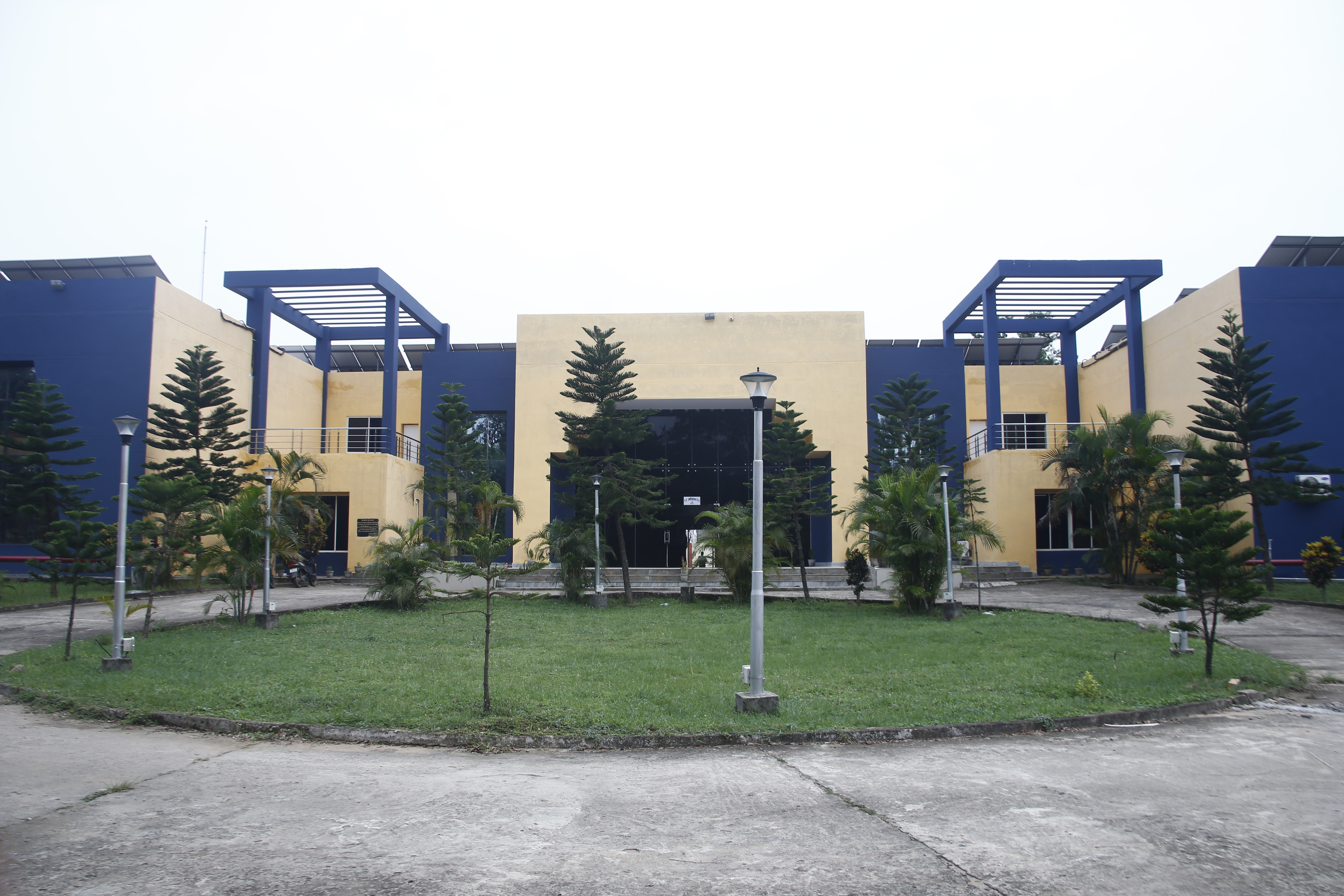 State Airstrip
IN-0062
Dumka Airstrip (Kurwa)
Serving the sub-capital of Jharkhand. Used for VIP movements, pilot cross-country flight training navigation by JFI cadets, and planned regional commuter flights.
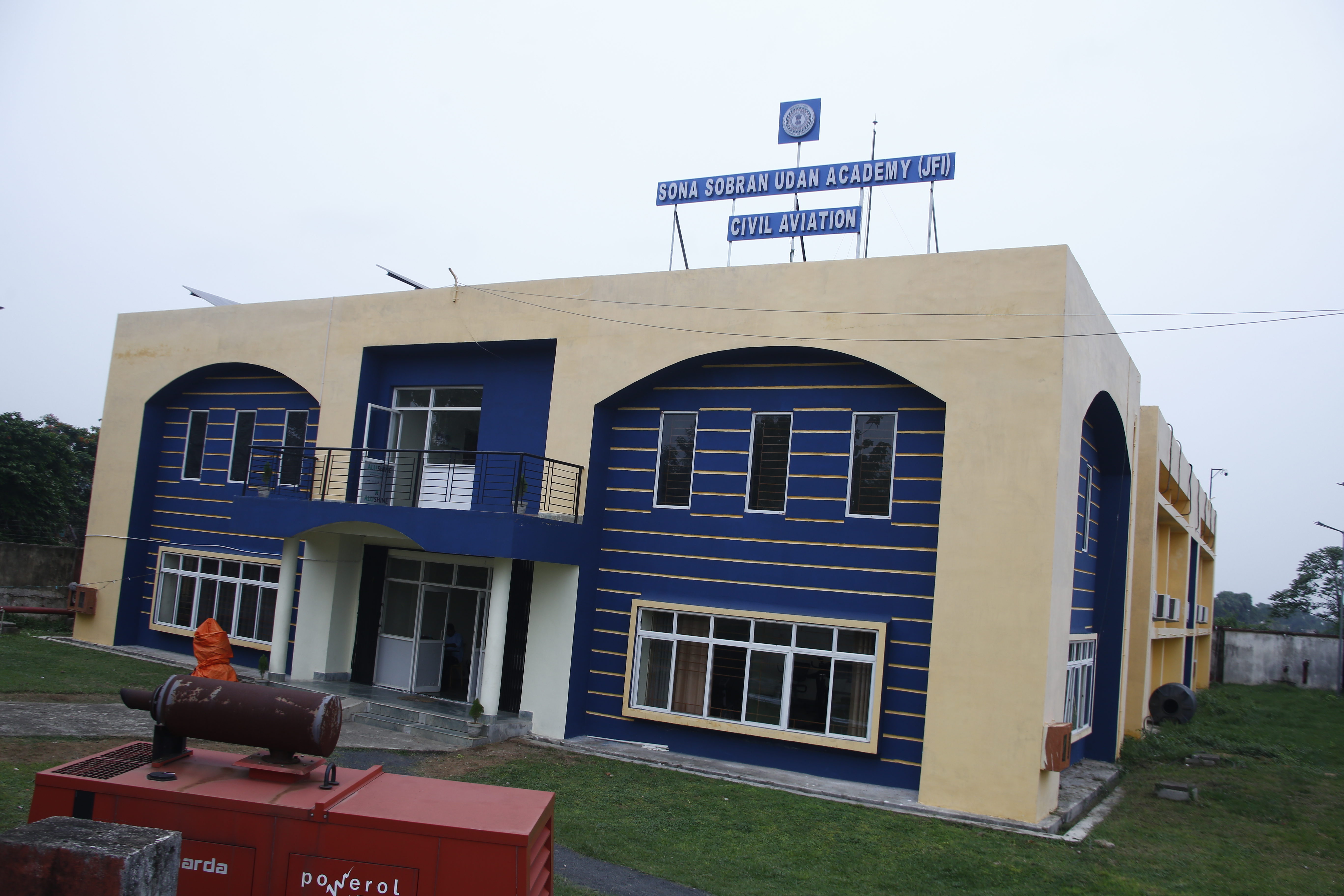 Modernizing
IN-0063
Dhanbad Airstrip (Barwadda)
Strategically located in the mineral hub of India. Under active modernization for non-scheduled flights, air ambulance transfers, and pilot cross-country sorties.
Statewide Helipad Grid
State-maintained permanent helipads engineered to handle single and twin-engine helicopters up to 10 tonnes for administration, emergency evacuations, and disaster response.
| District | Helipad Location | Helipad Type | Dimensions & Surface | Emergency Air Ambulance Support |
|---|---|---|---|---|
| Ranchi | Morabadi Ground & Project Bhawan Complex | Twin Helipads (Concrete) | 40 m × 40 m (Paved) | 24x7 Ready |
| East Singhbhum | Circuit House & Tata Main Hospital Helipad | Paved Helipad | 35 m × 35 m (Asphalt) | 24x7 Ready |
| Dhanbad | Police Line & Coal India CMPDI Ground | Paved Helipad | 35 m × 35 m (Concrete) | 24x7 Ready |
| Hazaribagh | Meru BSF Camp & District Stadium | Military & Civil Helipad | 40 m × 40 m | 24x7 Ready |
| Chaibasa (West Singhbhum) | Tata Rungta Ground & Chaibasa Collectorate | Civil Helipad | 30 m × 30 m | 24x7 Ready |
| Gumla / Simdega | District Police Lines Helipads | Helipad (Concrete) | 30 m × 30 m | 24x7 Ready |
| Latehar / Netarhat | Netarhat Tourist Plateau Helipad | Scenic & Strategic Helipad | 30 m × 30 m | 24x7 Ready |